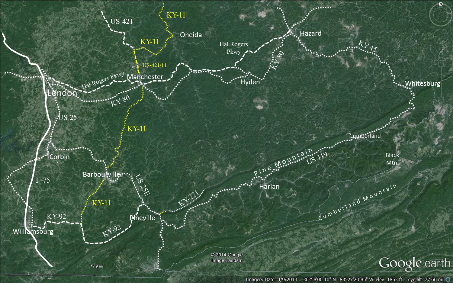
Kentucky Highway 11 from Oneida to Williamsburg
70 Miles
Copyrighted ©2015 by
DRC
The route is in yellow on the map below. Scroll down to see all the information.
Click to see larger image.
Ky-11 from Maysville to Slade
kml file for GPS
Ky-11 from Slade to Gausdale
kml file for GPS
Oneida
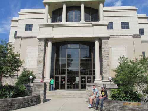
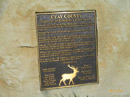
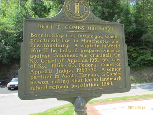
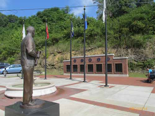
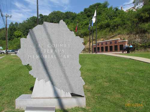
Manchester
Manchester
, Kentucky (Wikipedia)
Bert Combs
(Wikipedia)
Anne Shelby writer
(Facebook page)
Chief Red Bird
(Wikipedia)
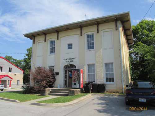
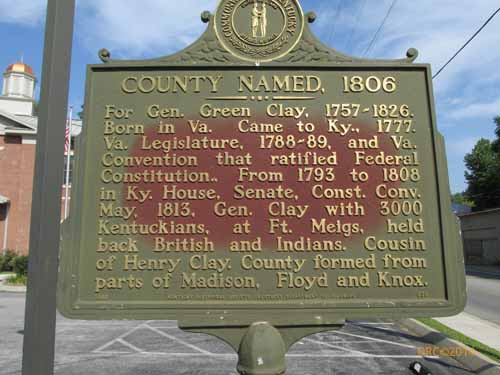
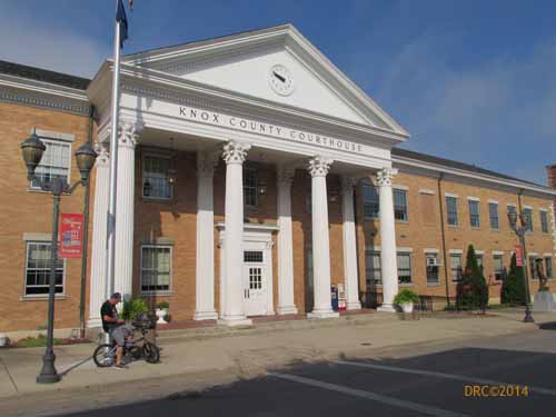
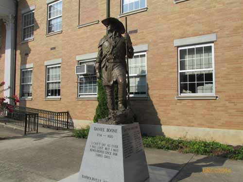
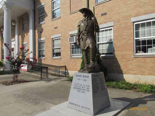
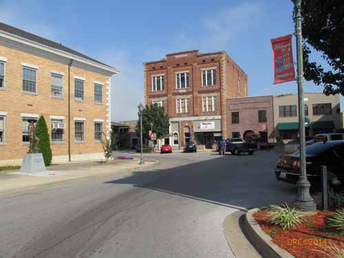
Barbourville
Barbourville
, Kentucky (Wikipedia)
Dr. Thomas Walker
(Wikipedia)
Dr. Thomas Walker State Historic Site
(official website)
Williamsburg